- home
- things to do
- hiking trails
- hiking trail n. 1
Hiking Trail Giglio Castello - Giglio Porto


Hiking Trail n° 1: The Mulattiera from Castello to Giglio Porto
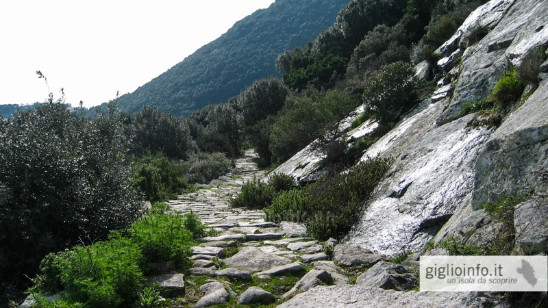
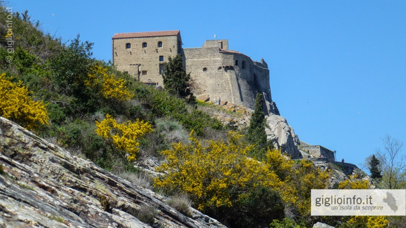
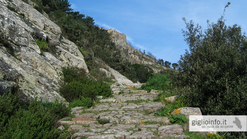
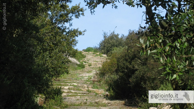
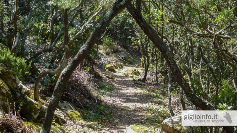
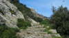
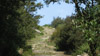
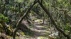
Once the Mulattiera (donkey path) served as the main connection between the two principal villages of the island, Giglio Porto and Giglio Castello. The ancient paths are usually laid out with stairs and paved with granite stones.
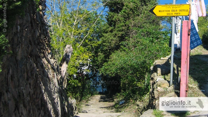
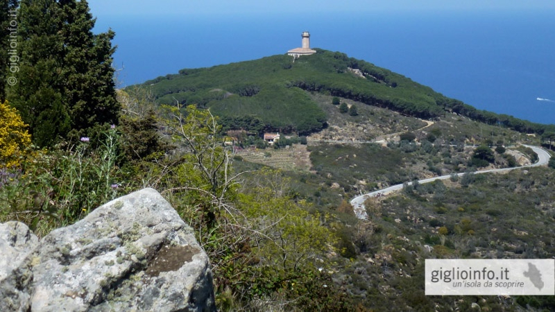
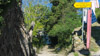
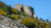
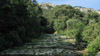
The trail starts in the northern corner of Piazza Gloriosa next to the Zancarella grocery store. On the first part of the way, my has a spectacular view of the northern tip with the ancient lighthouse and the bay of Arenella. On the other hand, facing the mountain, the medieval walls rise from the castle. In the lower part of the way you go through a shady village of holm oaks. The path ends slightly above the Hotel Castello Monticello on the main road that connects the port with the other villages.
From the Monticello you can either take the main road (Strada Provinciale, 1.4 km, 20 min.) Or the smaller, less traveled Via del Castello (800 m, 12 min.), Down to the port.
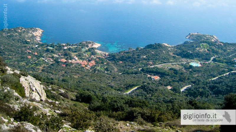
Connections: From Monticello you can alternatively go down to the beach of Arenella: hiking trail n. 1a
Top Links
Hiking Map Giglio
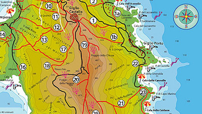
Trail n. 1
Castello - Monticello - Porto
- Length: 2.2 km (to Monticello 1.4 km)
- Journey time: 00:50 h (downhill)
- Highest Point: 373 m (Monticello 103 m)
- Lowest Point: 1 m
- Altitude: 372 m
- Difficulty: moderate
We are looking forward receiving comments, pictures or reviews. Just send us a short e-mail: giglioinfo@gmail.com.