- home
- things to do
- hiking trails
- hiking trail n. 12
Hiking trail from Giglio Castello to the Giglio Campese Beach

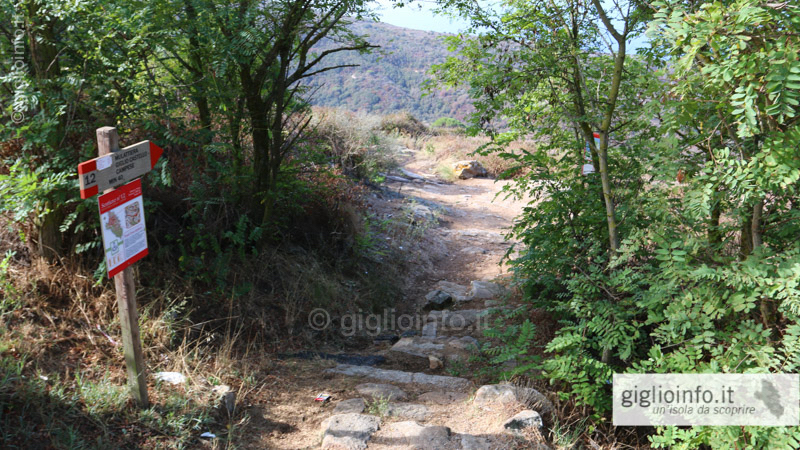

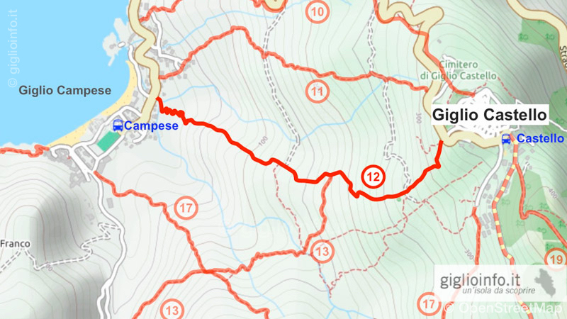


Hiking Trail n. 12: Giglio Castello - Valle dei Nobili - Giglio Campese
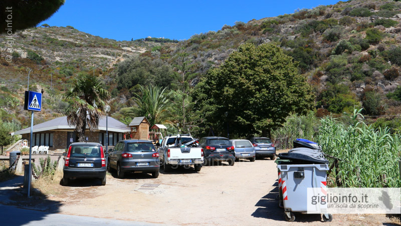
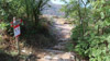
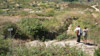
This Mulattiera, donkey trail, is one of the four remaining ancient Mulattiere that connect Giglio Castello with Campese. The beginning of this path is located at the entrance of the village of Castello (next to the old football field) and it exits in Campese next to the church. This path was used at the beginning of the last century by the miners who went every day from Castello to work in the mines of Mezzo Franco.
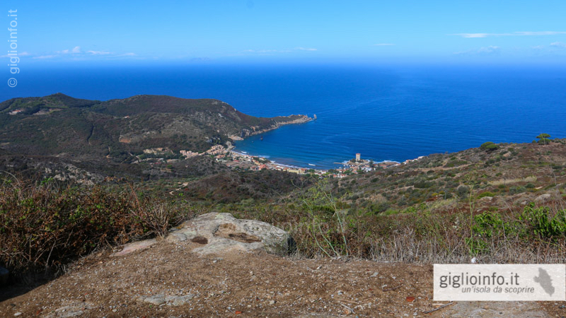
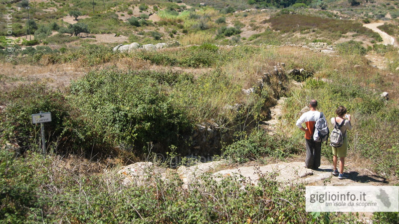
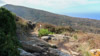
Decending regularly, the path leads through the valley Valle dei Nobili surrounded by the Meditteranean scrub and small cultivated terraces, and offers beautiful views of the bay of Campese. The path lies on the west side of the island and is very exposed to the sun in the afternoon.
Connected Trails: After about 700 meters, on the left side, you will find trail 13, which connects to path n. 17 and continues to Valle Ortana where the path n. 16 to the Allume Bay begins.
Top Links
Hiking Map Giglio
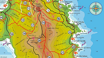
Trail n. 12
Giglio Castello - Campese
- Length: 1,8 km (one way)
- Journey time: 0:40 h (downhill)
- Highest Point: 351 m
- Lowest Point: 3 m
- Altitude: 348 m
- Difficulty: easy (downhill)
We are looking forward receiving comments, pictures or reviews. Just send us a short e-mail: giglioinfo@gmail.com.